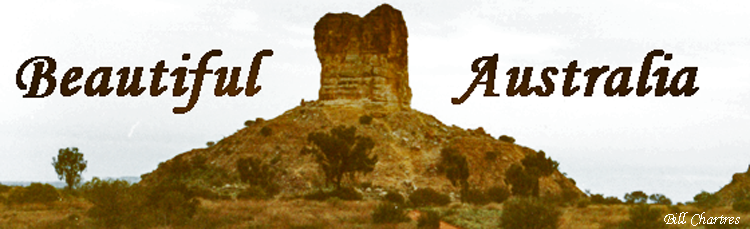
Simpson Desert, Australia, photographs, travel.

 © Bill & Peg Chartres
 |
All photos © Bill Chartres unless otherwise acknowledged.
SIMPSON DESERTThe Simpson Desert is a large, uninhabited arid region covering over 143,000 square km (55,000 sq miles) in central Australia.Situated mainly in the south eastern corner of the Northern Territory, it spreads into Queensland and South Australia. It is bounded by the Finke River in the west, the MacDonnell Ranges and Plenty River in the north, the Mulligan and Diamantina rivers in the east, and Lake Eyre to the south. There are sand dunes about 450 metres apart and up to 37 metres high, running parallel from north-west to south-east for about 160 km, with Ephemeral salt lakes common throughout the southern areas. 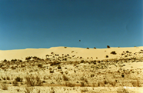
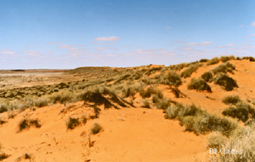
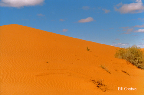
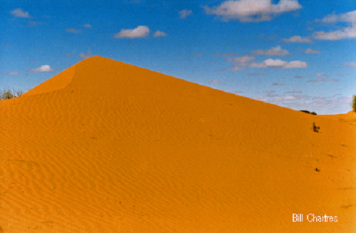 As the sands of the desert dunes age over time iron in the clay oxidises causing the grains of sand to become coated with iron oxide giving them a red colour; the longer weathering progress the darker red the sand appears. The southern sand dunes are white (since they are not as old) and the dunes become progressively redder to the north, as they are much older. The best known dune is “Big Red”, approximately 70 kilometres west of Birdsville, it is the one that is found most difficult to cross. There is an alternative (angled) crossing for those that fail. Simpson Desert Map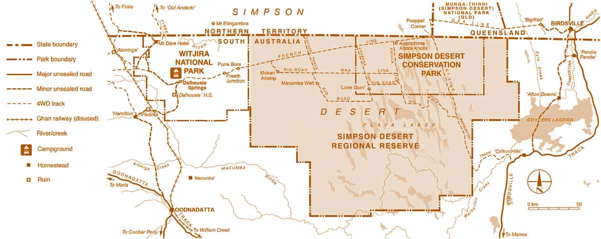 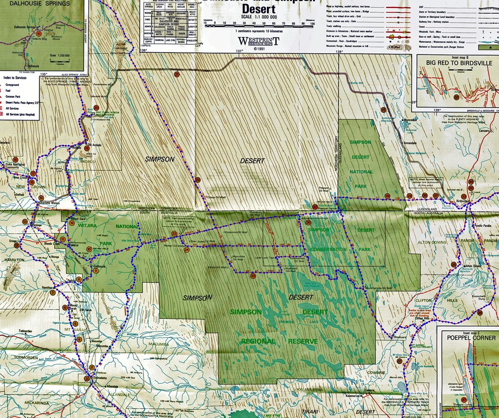 Simpson Desert Map - Tracks we have travelled The tracks that are highlighted (Blue dots) are the ones that we have travelled, they include :- Rig Road, QAA Line, French Line, WBY Line, Warburton Track, Knolls Track, Rocks Road and access to Alka-Seltzer Bore, Oasis Bore and the Everglades. NOTE:- We travelled these tracks between 1985 and 1995 and at that time there were many less restrictions on access to the Simpson Desert. Some of these areas now have restricted access and many require special permission to enter. Bill Chartres
|
Big Red-Simpson Desert - July 1989 |
 Big Red, Eastern side - Simpson Desert July 1989 |
 Big Red-Simpson Desert - July 1989 |
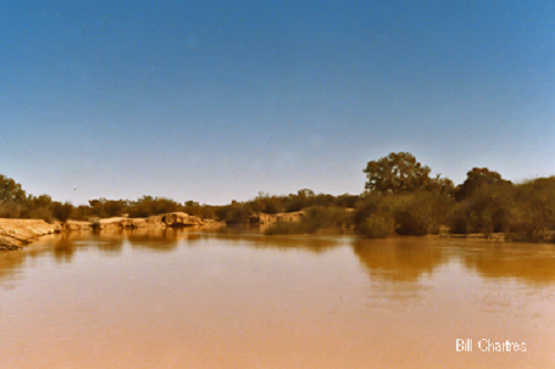 Worburton Creek - July 1989 |
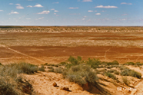
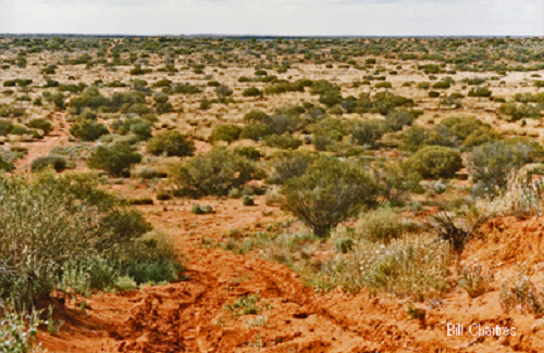
White sand dunes on the south eastern edge of the Simpson Desert Sept. 1987 |
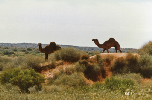
 Simpson Desert |
 Near Poolawanna - Simpson Desert - Sept. 1987 |
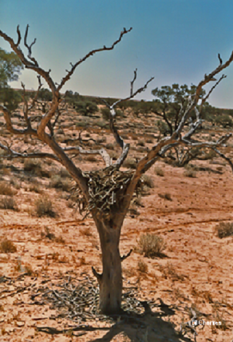
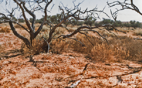
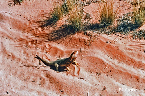
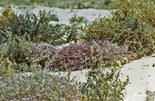 Simpson Desert - Wild Flowers - Sept. 1987 |
 Poolawanna No.1 Well- Simpson Desert - Sept. 1987 |
 Simpson Desert - Sept. 1987 |
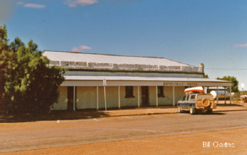 Birdsville Hotel - July 1989 |
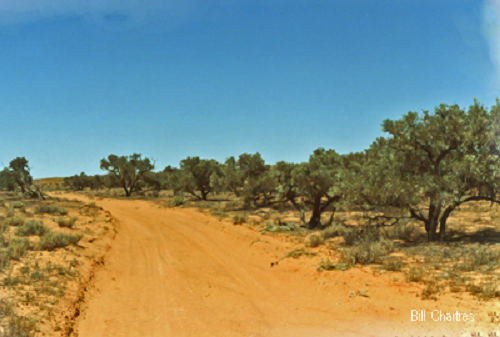
 WBY Line - Simpson Desert - Sept. 1987 |
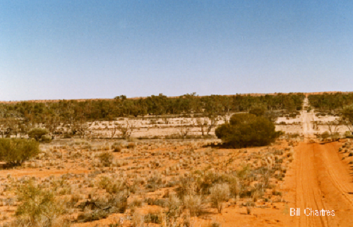
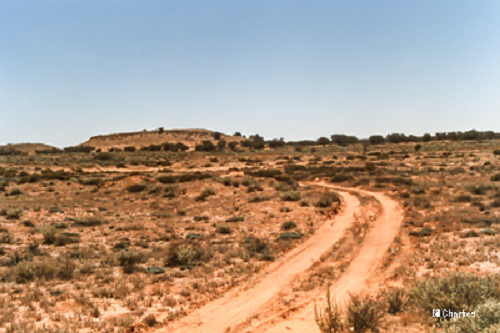
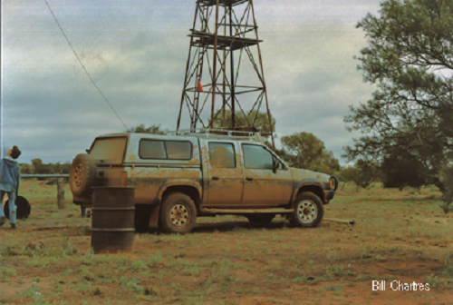
Simpson Desert - 1989 |
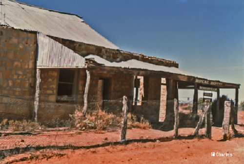 The Old Birdsville Hotel - Sept. 1987 |
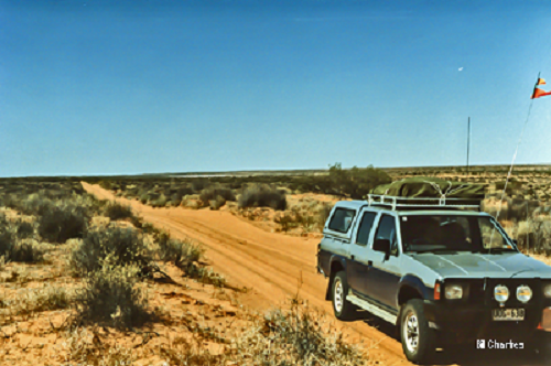
 Simpson Desert - 1989 |
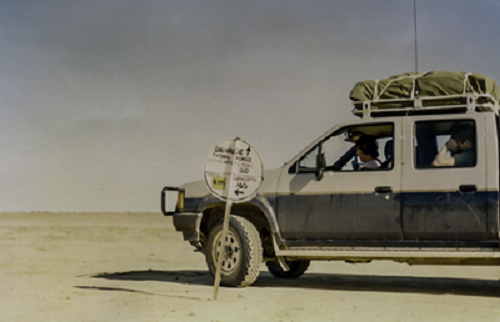 Freeth Junction, Simpson Desert SA - July 1987 Along the track into the Simpson Desert from Dalhousie Springs, just before reaching Purnie Bore, is freeth Junction. At this point Rocks Road heads south through Macumba Station to Oodnadatta |
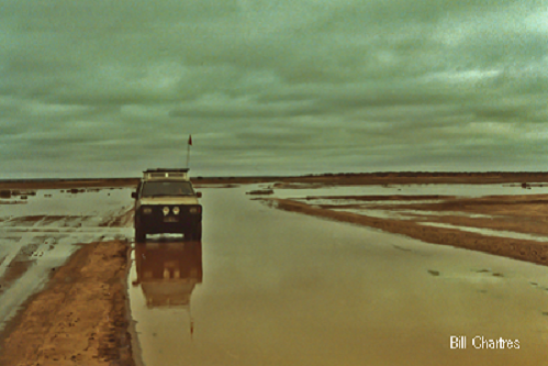
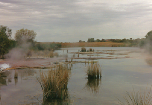 Purnie Bore Wetlands - Simpson desert - June 1994 < br> |
 Freeth Junction, Simpson Desert SA - July 1988 Although we did travel Rocks road in the late 1980's it is now open, with permission, for emergency use only. |
 Camp Site - Alka Seltzer Bore Simpson Desert - June 1994 |
 Approdinna Knolls - Simpson Desert - Sept. 1987 |
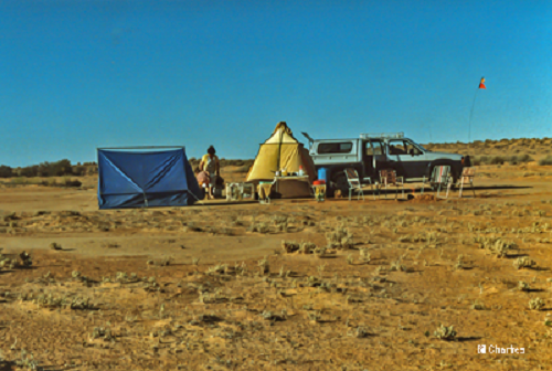
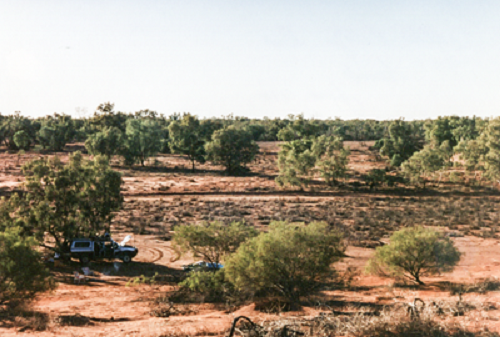
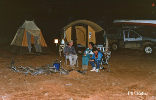 Bill, Peg & Jason Chartres Camp site - Simpson Desert - July 1989 |
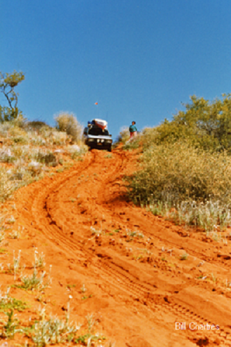 French Line - Simpson Desert - July 1989 |
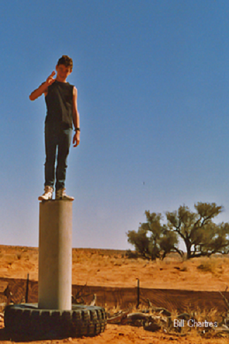 Jason Chartres - Poepples Corner (Junction of NT, SA & Qld) - Simpson Desert - 1989 |
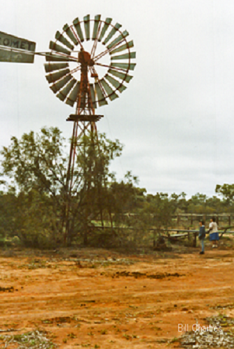
 Simpson Desert - Sept. 1987 |
 Simpson Desert - 1989 |
 Simpson Desert - 1989 |
 Simpson Desert - 1989 |
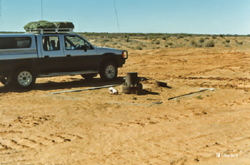
 Alka Seltzer Bore - Simpson Desert - July 1988 |
 Oasis Bore - Simpson Desert - July 1988 |
 The Everglades - Simpson Desert - July 1988 |
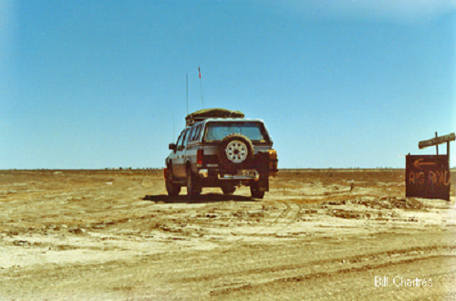 Rig Road Turnoff - Goyders Lagoon Sept. 1987 |
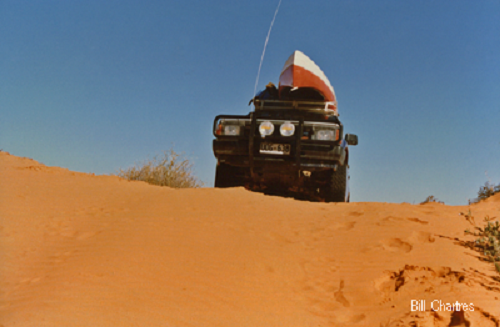
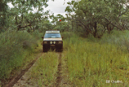
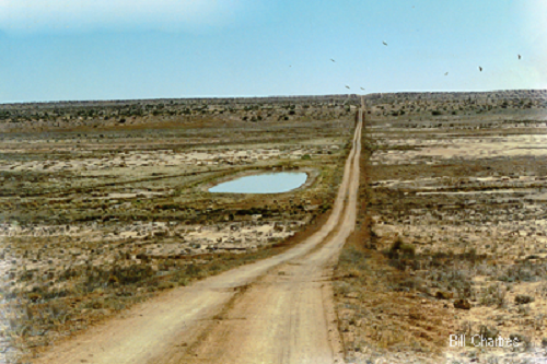 Rig Road Simpson Desert - Sept. 1987 |
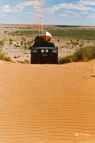
 QAA Line - Simpson Desert - Sept. 1987 |
 QAA Line - Simpson Desert - Sept. 1987 |
 QAA Line - Simpson Desert - Sept.1987 |
 Near Freeth Junction - Simpson Desert - Sept. 1988 |
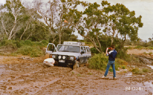
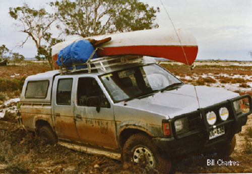
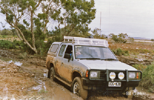 "The Glue Pot", near Dalhousie Simpson Desert - July 1988 |
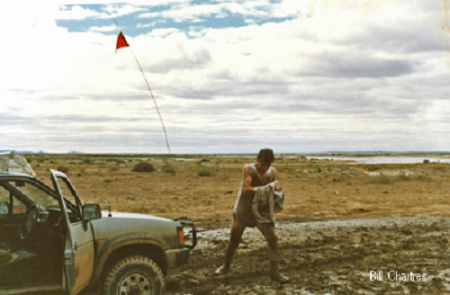
 Bill Chartres "The Glue Pot", near Dalhousie Simpson Desert - July 1988 |
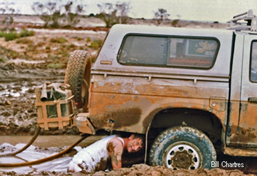
 Bill & Jason Chartres "The Glue Pot", near Dalhousie Simpson Desert - July 1988 |
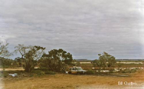
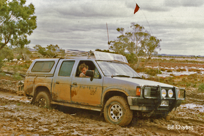 "The Glue Pot", near Dalhousie Simpson Desert - July 1988 |
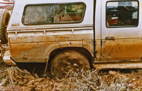 "The Glue Pot", near Dalhousie Simpson Desert - July 1988 |
 Bill Chartres "The Glue Pot", near Dalhousie Simpson Desert - July 1988 |
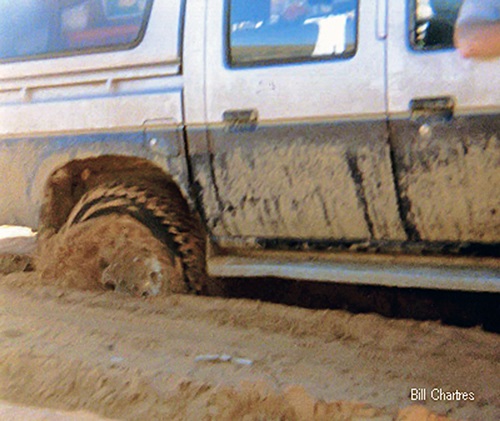
 "The Glue Pot", near Dalhousie Simpson Desert - July 1988 (Twice in two days!) |
 Bill Chartres "The Glue Pot", near Dalhousie Simpson Desert - July 1988 |
 "The Glue Pot", near Dalhousie Simpson Desert - July 1988 |
Please note:- We travelled these areas in the 1980’s& 90’s, at that time there were very few restrictions on access. Today permits and permission are required for many of these areas and fire bands may apply. If visiting please check requirements before entering private property (Stations), Aboriginal Lands and National Parks etc.
Select what you would like to see
The following pages contain many photographs and may take a while to load,please be patient.
— Thanks, Bill
Flinders Ranges Lake Eyre Mt. Chambers Gorge Dalhousie Springs
Simpson Desert (You are here) Old Andado Station Bushland Park Coongie Lakes
The Australian Outbacks Ayers Rock Coopers Creek and Innaminka Palm Valley
More destinations...
Enjoy the Christmas Spirit throughout the year.
Come and visit our display for a wonderful Christmas experience,
or email us with your thoughts about our Web Site.
We would love to hear from you.

e-mail us
Best Wishes, Bill & Peg
Our original site was created in March 1988, and we moved to our own Domain in November 2014